
We source restaurant recommendations from friends, find the best neighborhood cafés, pull up driving directions, and access in-store deals, all from our mobile device. In fact, nine out of 10 U.S. smartphone owners use location-based services, according to Pew Research Center.
“Younger populations are growing up in a world of geospatial intelligence and they may not even be cognizant of it,” says Cordula Robinson, associate teaching professor and lead faculty member of Northeastern’s Master of Professional Studies in Geographic Information Technology (GIT) program. “It’s in front of us on a daily basis. Think of Google, or apps on your smartphone like Waze—that is all geospatially based.”
Eighty percent of today’s data is accompanied by a location, creating a demand for professionals who can apply geospatial intelligence. GIT-related jobs are expected to grow 29 percent from 2014 to 2024, much faster than the average for all occupations, according to the U.S. Bureau of Labor Statistics.
But what is geographic information technology, and how can it be used?
What Is Geographic Information Technology?
Professionals use GIT to visualize and analyze data to reveal relationships, patterns, and trends. The 80 percent of data with a time and location features a geographical stamp that links databases, and can be used to look at temporal variations to see what’s changing and how over time.
“We’re able to combine multiple data sets using the stamp to start looking at correlations that might exist between databases that have never been looked at in those terms before,” Robinson says. “We can transform this data into actionable knowledge and use it to assist in the strategic decision-making process and planning and management of logistics.”
GIT can help answer the questions of what, when, and how, but, more broadly, where and why.
How Can Geographic Information Technology Be Used?
Analysts well-versed in GIT know how to produce, aggregate, and manipulate spatial data in order to drive decisions in a variety of fields and industries.
Among those industries is retail. “We’re entering an era of geospatial consumerism,” Robinson says, explaining that brands today can leverage an API to find geographical information within an IP address to determine how to direct advertising campaigns based on the demographics and income brackets of the purchasing population.
GIT arms companies with a better sense of where particular products or services are more popular, and allows them to test new marketing in a smaller segment of cities before rolling out a national campaign.
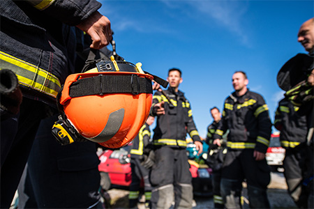
The same technology used by retailers can also be applied to emergency planning, crisis management, and disaster response. Robinson referenced the program’s “Crisis Mapping for Humanitarian Action” course and how, through it, students learned to use open, crowdsourced data sets to provide relief during Nepal’s 2015 earthquake.
“This data is provided in real-time,” Robinson says, “and allows people to know what the situation is on the ground. We can use these data sets and look at them from the sky, from space, to see where road infrastructures may be down or which villages have been impacted.”
The satellite sector has started gaining the attention of investors. The space industry has grown more than sixfold in the last five years, according to Fortune. Applications include situational awareness, commercial agriculture, regional and global environmental change, and emergency and disaster response, according to Robinson.
Another potential application hits closer to home. The Northeastern University Police Department uses GIT to determine which areas on campus experience higher crime activity and at what time of day, so they know where and when they need more police detail.
“We might also want to look at the lighting on campus and see if crime is focused in darker areas,” Robinson adds. “There’s a multitude of applications.”
And that goes for a variety of industries, beyond retail and emergency planning. GIT can be used in public health and food services; it can help you navigate towns and cities in your car.
“Geospatial data—that’s where it’s at,” Robinson says. “It’s not just about big data analytics or data visualization. It’s about being able to use this constant stream of information in a geospatial sense, with this geographical and time component, and find out how we can do something with it to inform the decision-making process.”


Related Articles
5 Reasons to Study International Relations and Diplomacy
Master’s Lands Alum Role with the Dept. of Homeland Security
What Can You Do With a Master’s in International Relations?